Severe thunderstorms and rain set to sweep across England and Wales
The Met Office warns of strong thunderstorms and heavy rain affecting large parts of England and Wales later this week.
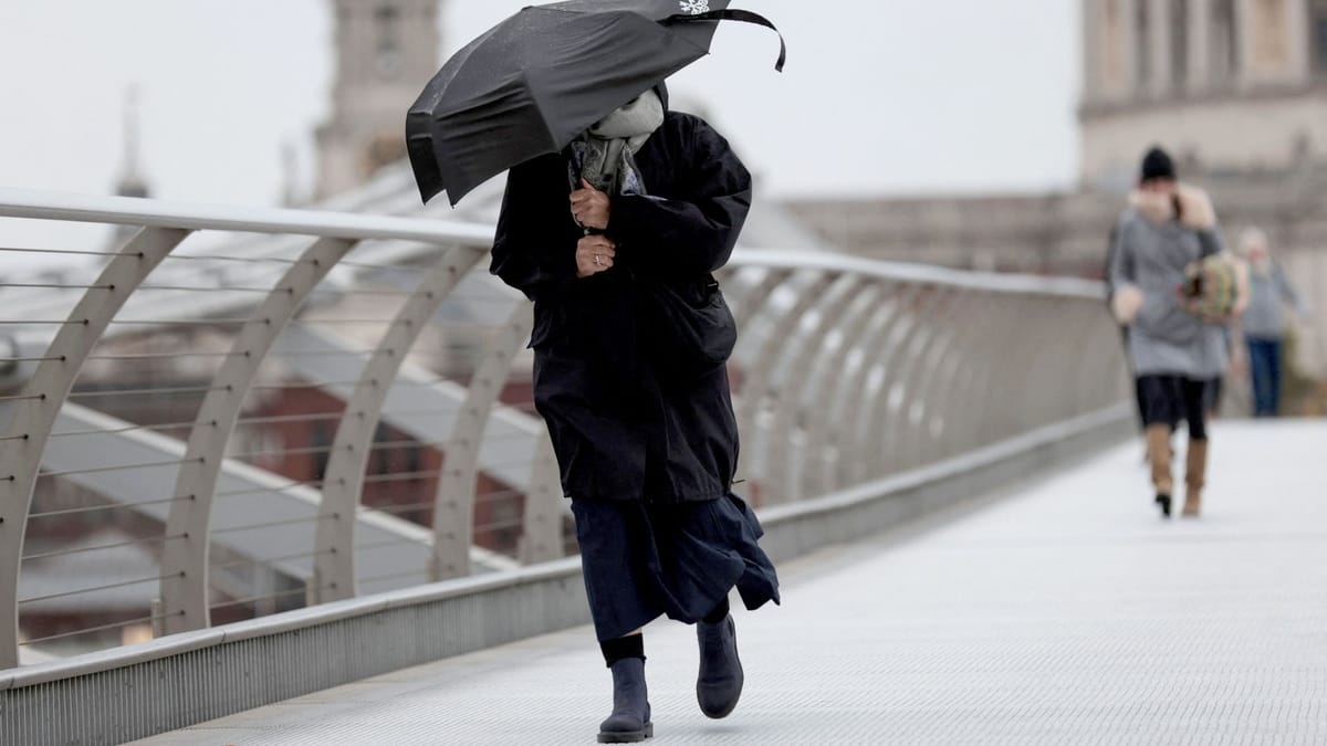
The Met Office has issued a warning that much of England and Wales will experience strong thunderstorms and heavy rain over the coming days. Forecasters say the unsettled weather will move across the south, the Midlands and the north‑west, with the most intense activity expected in the afternoon and early evening.
Rainfall intensity is likely to be high enough to cause localized flooding, particularly in low‑lying areas and near rivers. The service has highlighted the risk of flash floods on roads and footpaths, urging drivers and pedestrians to stay alert. In addition to the wet conditions, gusty winds accompanying the storms could bring down branches and debris, creating further hazards for commuters.
Transport operators are already preparing contingency plans. Several train operators have warned of possible delays or cancellations, especially on routes that run close to flood‑prone sections. Motorists are advised to allow extra travel time, avoid non‑essential journeys and keep an eye on live traffic updates. Local authorities in affected counties have placed flood warning signs in vulnerable locations and stand ready to respond to any emergencies.
The Met Office recommends that residents keep windows and doors securely closed, move valuable items away from windows, and secure any loose outdoor objects that could become projectiles in strong gusts. Those living in flood‑risk zones should monitor local alerts and be prepared to move to higher ground if water levels rise rapidly.
While the weather system is expected to move eastward by the weekend, the Met Office will continue to issue regular updates. Keeping informed through official channels, such as the Met Office website or trusted news outlets, will help the public stay safe during the period of heightened thunderstorm activity.